Map threatened buildings
Making threatened buildings visible through a shared public map.
Why this approach?
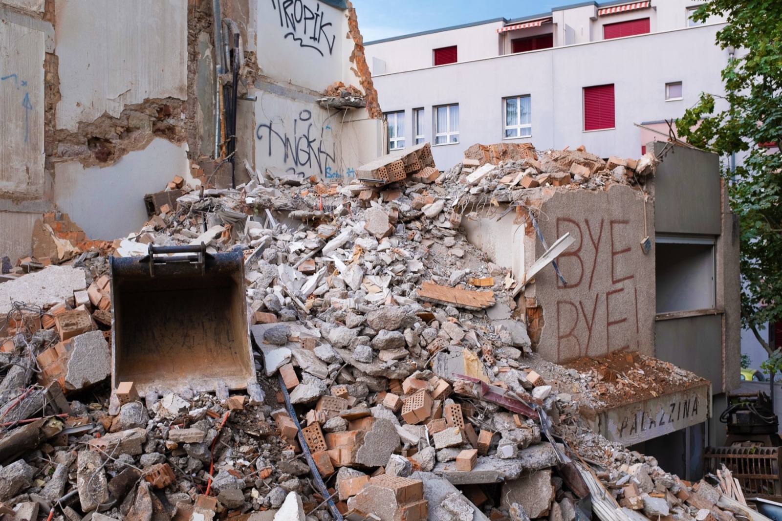
A building can disappear before its wider significance is understood. A demolition map brings scattered cases into a shared record, allowing patterns to become visible beyond a single site.
How to begin
Choose a small area and record a first set of threatened buildings. Agree on the fields every entry needs: location, current status, source and date checked. Review the records together before sharing a map. Invite corrections and identify who will keep it up to date.
What you need
A shared spreadsheet, a simple mapping tool, verifiable sources and a small team with time to review contributions. Start with a manageable area rather than a complete national inventory.
What to consider
A useful map needs clear submission rules, sources and a way to distinguish proposed, threatened and completed demolition. Its value lies in supporting investigation and organising; a marker alone does not demonstrate that a building has been saved.
- Form
- Documentation
- Commitment
- A few hours
Applications
Abriss Atlas
- A participatory map of demolished and threatened buildings in Switzerland. Contributions make both the scale of demolition and the stories of buildings and residents visible.
- Country
- Switzerland
- Activists
- → Countdown 2030
Abriss-Atlas Deutschland
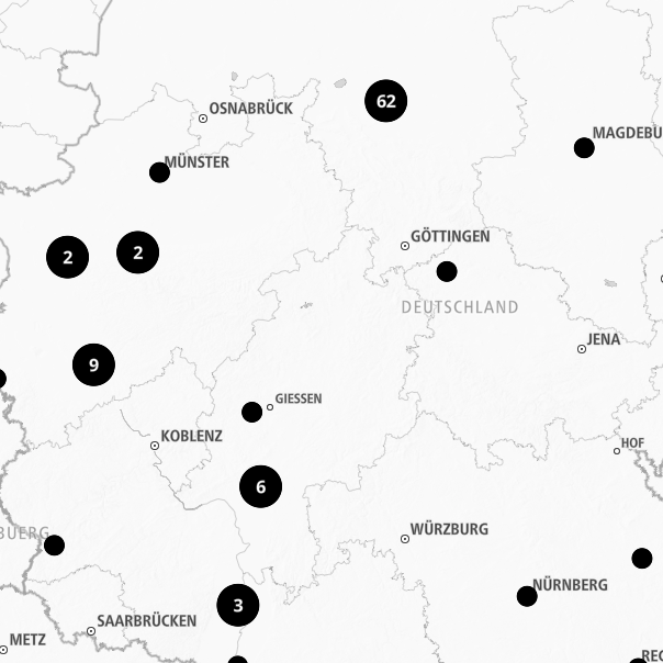
- A public platform gathering threatened and recently demolished buildings across Germany.
- Country
- Germany
- Agendas
- DemolitionDecarbonisation
- Activists
- → Architects for Future Germany

UK Demolition Map
- An open map documenting buildings threatened with demolition, already demolished or saved across the UK.
- Country
- United Kingdom
- Agendas
- DemolitionDecarbonisation
- Activists
- → Architects Climate Action Network
Rivningskartan
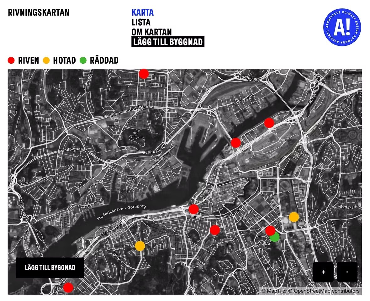
- A public map of demolished, threatened and saved buildings in Sweden, initiated by ACAN Sverige together with Sally Future Manifestation Lab and inspired by the Swiss Abriss Atlas.
- Country
- Sweden
- Activists
- → ACAN Sverige